Getting to know your herds
To make good decisions about how wild cattle and buffalo are managed on country you need good data.
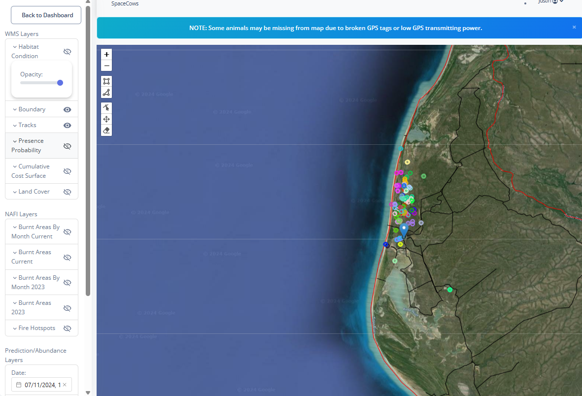
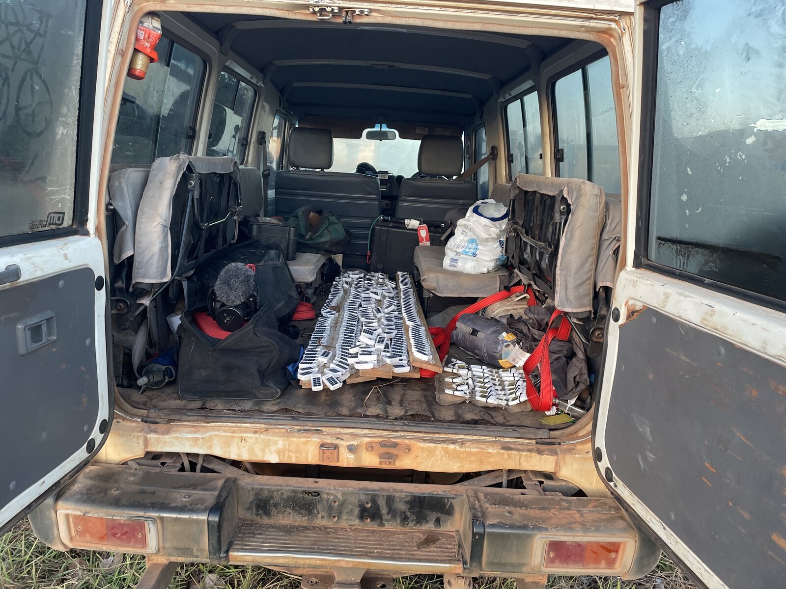
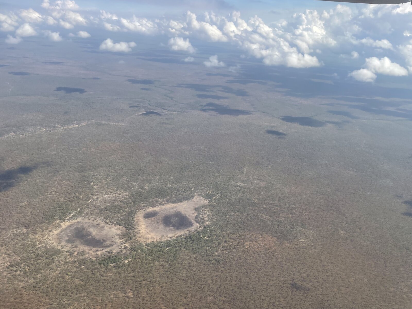
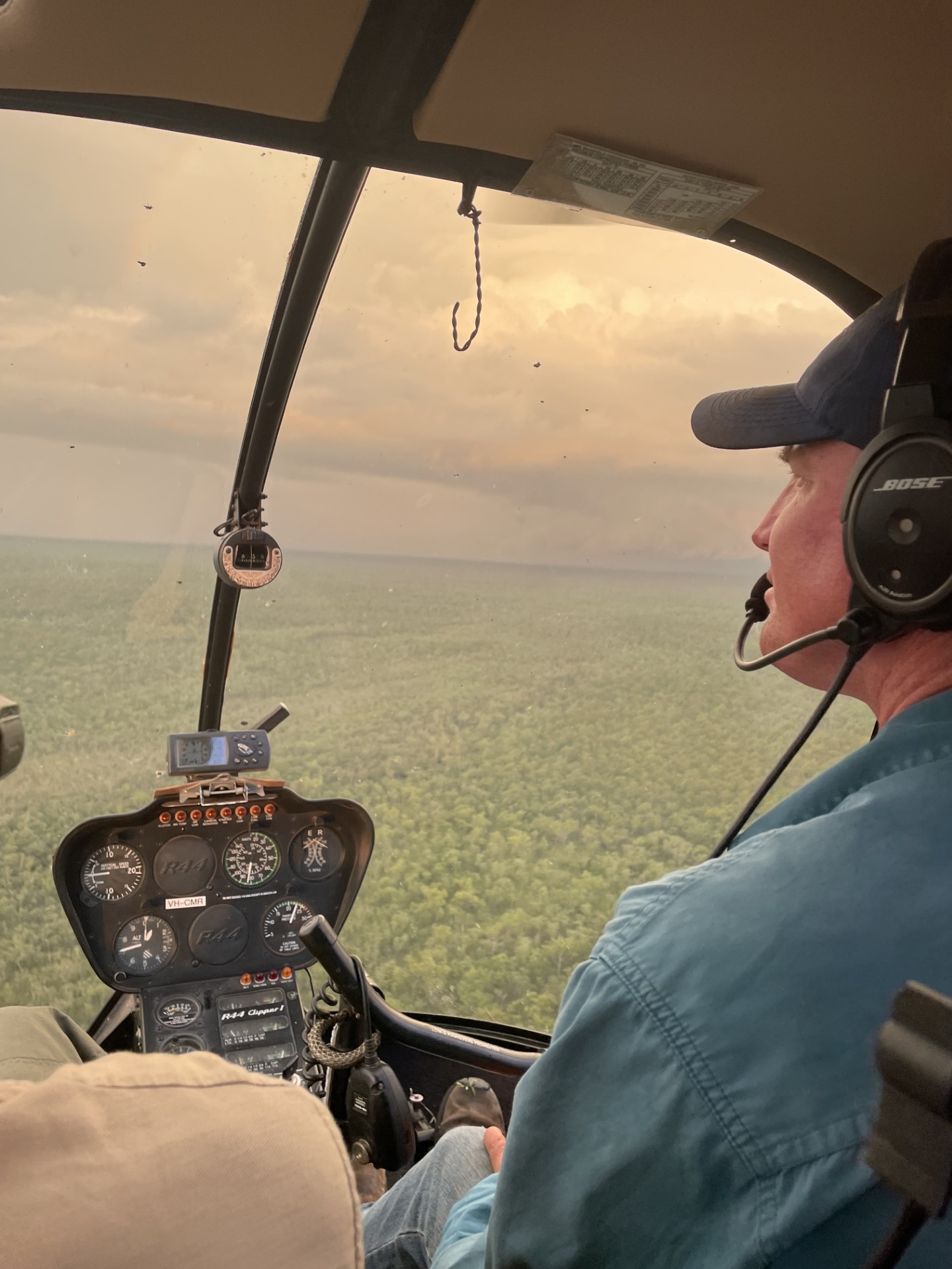
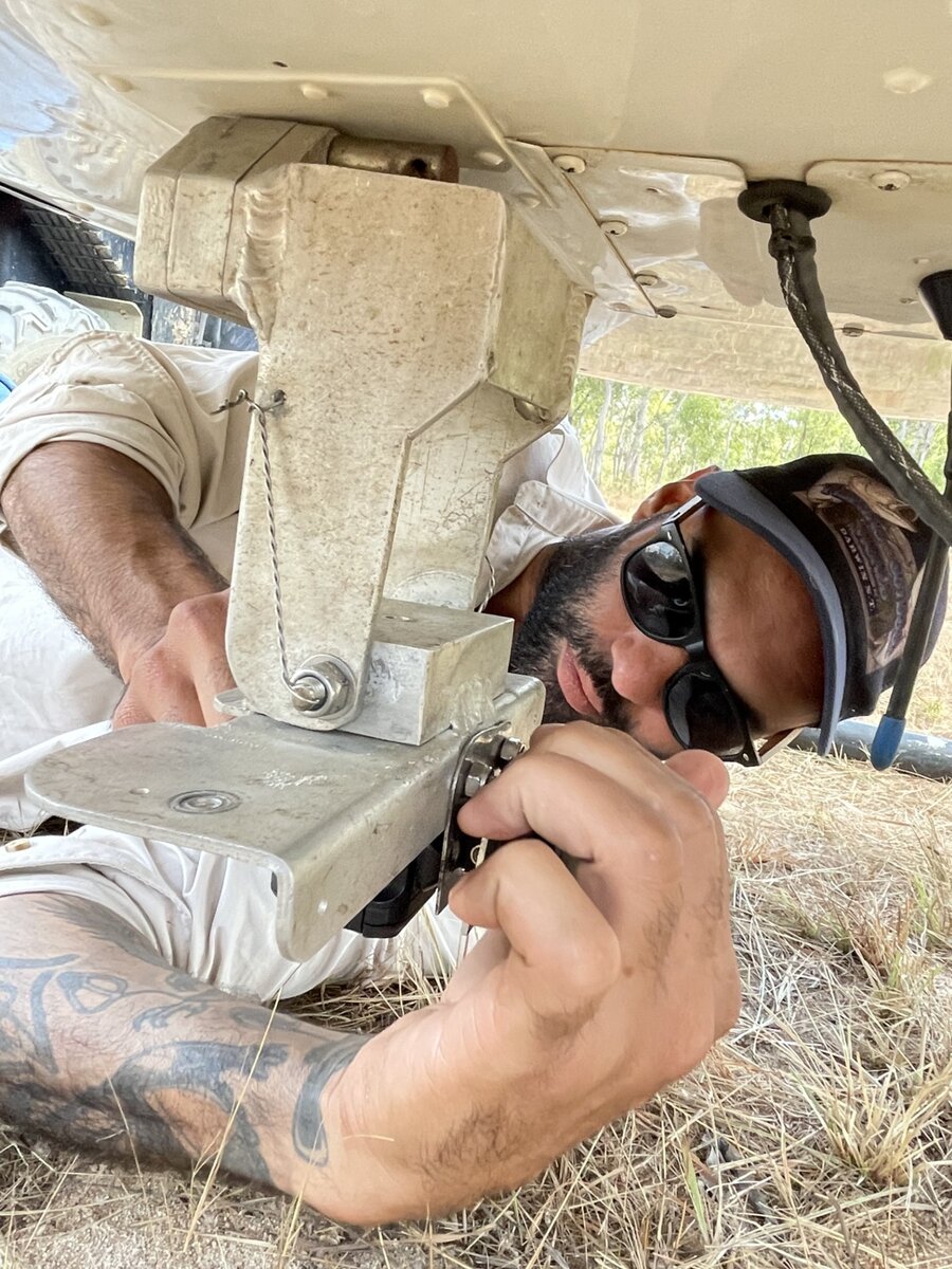
The space cows program has developed new methods for tracking animals at very large scales using satellite ear tags. The tags are designed to be small, inexpensive and easy to use. The data is sent via satellite so near real time data on the animal location is provided. In this project we merge aerial survey data with the movement data to better understand where and when cattle and buffalo are using the landscape. This provides really useful information for making management decisions.
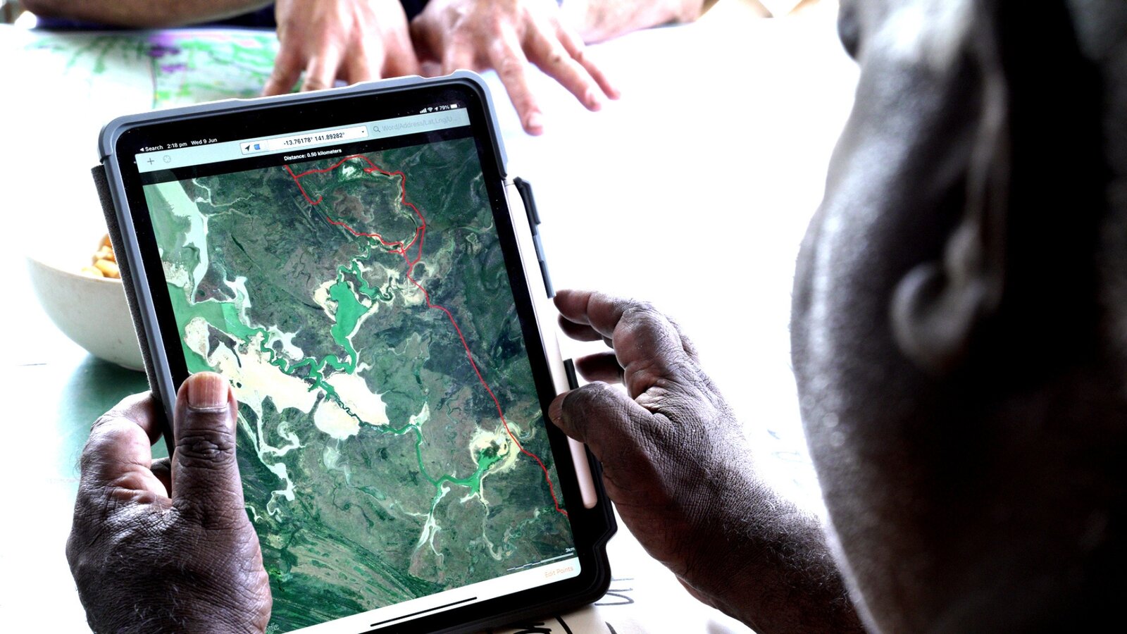
This section describes some of the useful ways that you can learn about the herds on your country. Some of the methods discussed are.
- Talking to knowledge holders.
- Tracking technology. In this project we used satellite ear tags.
- Mapping
- Aerial survey methods (click here to download a summary of the aerial shooting data collection and here for aerial survey methods for abundance and distribution)
